The Brewster Conservation Trust completed a fundraising campaign to preserve 10 acres atop the highest hill in Brewster. We raised $120,600 to buy this parcel in East Brewster.
You cannot get a nosebleed climbing Brewster’s highest hill. At only 134 feet above sea level, you can barely get out of breath. Still, when we had a chance to buy part of its eastern flank, we jumped at the chance. We thank all our supporters, including the Commonwealth of Massachusetts, which provided a grant for half the purchase price.
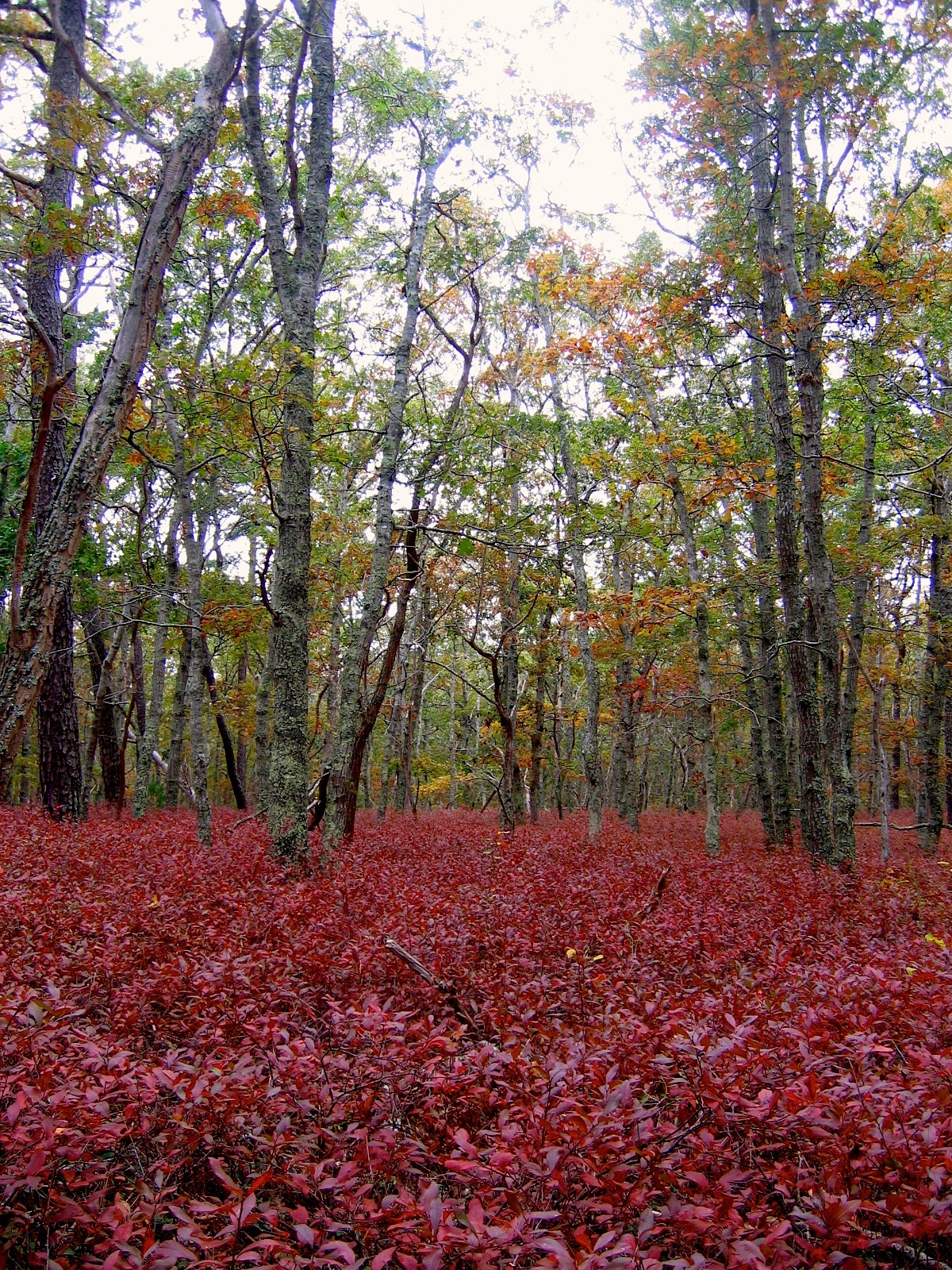
Huckleberry Hill is our made-up name for this landform located between Baker’s Pond and Nickerson State Park in East Brewster. Take a look at the photo and you will see the knee-high carpet of huckleberry shrubs at the autumnal peak of their color, a wine-dark sea out in the forest.
The 10-acre forest tract is composed of white and black oaks, and pitch pine, with occasional wispy white pines, mockernut, American beech and sassafras trees. It abuts a 90-acre assemblage of town-owned conservation lands. Well-grooved narrow foot trails wend their way through this area. It is a favorite haunt for white-tailed deer. It is truly a forgotten pocket of Brewster, perhaps even more so than the Punkhorn nowadays.


D Mark Beltis says
left basecamp today to summit Huckleberry Hill.found trail head,and started trek.had to complete last part alone as sherpa guide descended at 127′.I think we summited but not sure because of low clouds, disorientation, short on oxygen and missing placque at top !kept going til we hit 6A.will try next year after new sponsors are found for funding.
bct@brewsterconservationtrust.org says
Congratulations on you attempt to summit! Our sherpas much prefer sea level treks! (Ha!) Have fun and keep on hiking!